The City of Monroe works to protect our local waterways and watersheds from the impacts of stormwater pollution. When it rains, pollutants such as sediment, fertilizer, oil, litter, and pet waste are carried by stormwater runoff into the nearest drainage system. The City maintains a Municipal Separate Storm Sewer System (MS4) that includes storm drains and other drainage structures such as ditches, pipes and outlets, which discharge directly into creeks, streams and lakes. Since the MS4 is not connected to a treatment system, it is critical to minimize the amount of pollutants that enter our waterways and into Lake Lee, Lake Monroe and Lake Twitty, our water supply lakes.
The City of Monroe maintains the storm drainage system to address roadway and offsite drainage as well as water quality. The City seeks to improve drainage systems when there are existing unsafe conditions, recurring erosion, or property damage as determined by the Engineering Department. Assistance is provided to repair drainage systems outside the street right-of-ways on private property in accordance with the City's Storm Drainage Policy.
 The City of Monroe is a proud member of the Regional Stormwater Partnership of the Carolinas, a collaboration between municipalities of the greater Charlotte area that strives to increase awareness of stormwater and water quality issues in the region through sharing of information and expertise.
Stormwater Management System
The City of Monroe is required to comply with all aspects of the National Pollutant Discharge Elimination System (NPDES) Phase II Stormwater Regulation. The City was issued its NPDES Phase II Stormwater Permit in October 2005 and is renewed every 5 years. Under the City of Monroe’s NPDES Phase II Stormwater Permit, the City is authorized to discharge stormwater from the City’s Municipal Separate Stormwater Sewer System (MS4) located within the corporate limits to receiving waters and their tributaries.
To meet both federal and state regulations, the City of Monroe Engineering Department has developed a comprehensive Stormwater Management Plan that is reviewed and revised annually. The plan includes six minimum control measures to control the discharge of pollutants from the MS4 including stormwater runoff and illicit discharges (such as spills and illegal dumping). In addition, the City enforces a Stormwater Management Ordinance to control stormwater pollutants. It also addresses increased stormwater volume and velocity from new development and redeveloped sites to protect water quality and reduce downstream flooding. The ordinance requires a Stormwater Control Measure (SCM) for all development and redevelopment within the corporate limits and extraterritorial jurisdictions of the City of Monroe.
Six Minimum Measures
Public Education - Teach citizens and business owners about how they can prevent and reduce stormwater pollution.
Public Involvement - Increase awareness of the City’s water resources and stormwater system through active volunteer projects that work to improve water quality locally.
Illicit Discharge- Look for and remove unlawful discharges to the stormwater drainage system.
Construction Site Runoff Control - Regulate new construction activities to ensure that they provide appropriate treatment for stormwater before it reaches local waterways.
Pollution Prevention and Good Housekeeping - Eliminate or reduce pollution resulting from municipal operations.
Post Construction Stormwater Management - Regulate the design of new development to promote stormwater treatment from impervious surfaces, such as rooftops, streets and parking lots.
Flood Maps Update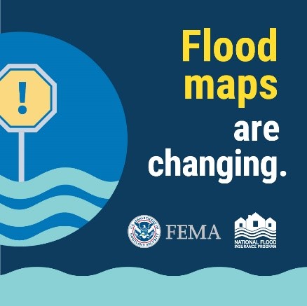
The Federal Emergency Management Agency (FEMA) has been working with the state of North Carolina and Union County to update the official flood maps. The preliminary version of the updated flood maps are available for the public to review before they become final. Letters have been mailed to affected property owners to alert them of the updates. If you would like to review the proposed flood map updates, you can access them on the state’s Flood Risk Information System (FRIS) website. Since the FRIS website defaults to the current effective maps, Union County created a video that shows how navigate the state's FRIS website to view the preliminary maps, which can be viewed by clicking this link. For more information on the flood map updates from Union County please click this link.
Resources
Stormwater Management Permit Application
Floodplain Development Permit Application
07.06.03 Stormwater Checklist
Form 1-04 A Pre-Construction Certification Form for Post-Construction Stormwater BMP
Form 1-04 B Final Certification Form for Post-Construction Stormwater BMP
07.11 Post-Construction Checklist
07.12 Post-Construction Checklist for Stormwater BMPs
07.13 As-Built Drawing Checklist
Stormwater Operation & Maintenance Agreement
Stormwater Management Ordinance
Floodplain and Floodway Districts Ordinance
Current NPDES Phase II Stormwater Permit
Current Stormwater Management Plan
Quick Links
Report Stormwater Problems, Spills or Illicit Discharges
Volunteer opportunities: Adopt-A-Stream, Water Quality & Storm Drain Marking
Stormwater Utility Fee & Information
Stormwater Utility Credit & Adjustment Manual
Frequently Asked Questions